
Yarmouth Waterfront & Road to Bunker Island
Tracing the tides: Yarmouth Waterfront Trail
The Yarmouth Waterfront Trail in Yarmouth, NS, is a captivating ribbon weaving along the edge of the town’s maritime heartbeat, embracing the coastline and offering a delightful fusion of scenic beauty, coastal charm, local amenities, and historical treasures. Panoramic views of the harbour create a mesmerizing backdrop as you stroll the path, where benches invite moments of pause to soak in the maritime spectacle—heritage buildings in the distance, seabirds gliding overhead, and fishermen and women carrying out their daily routines.
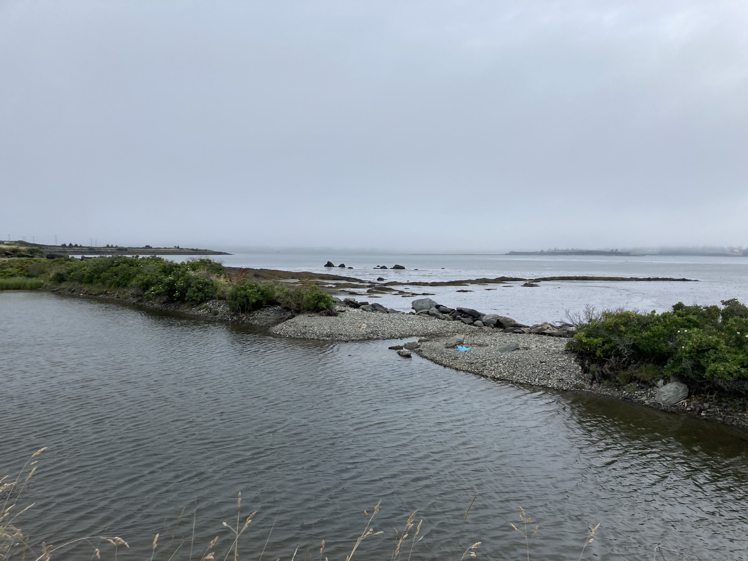
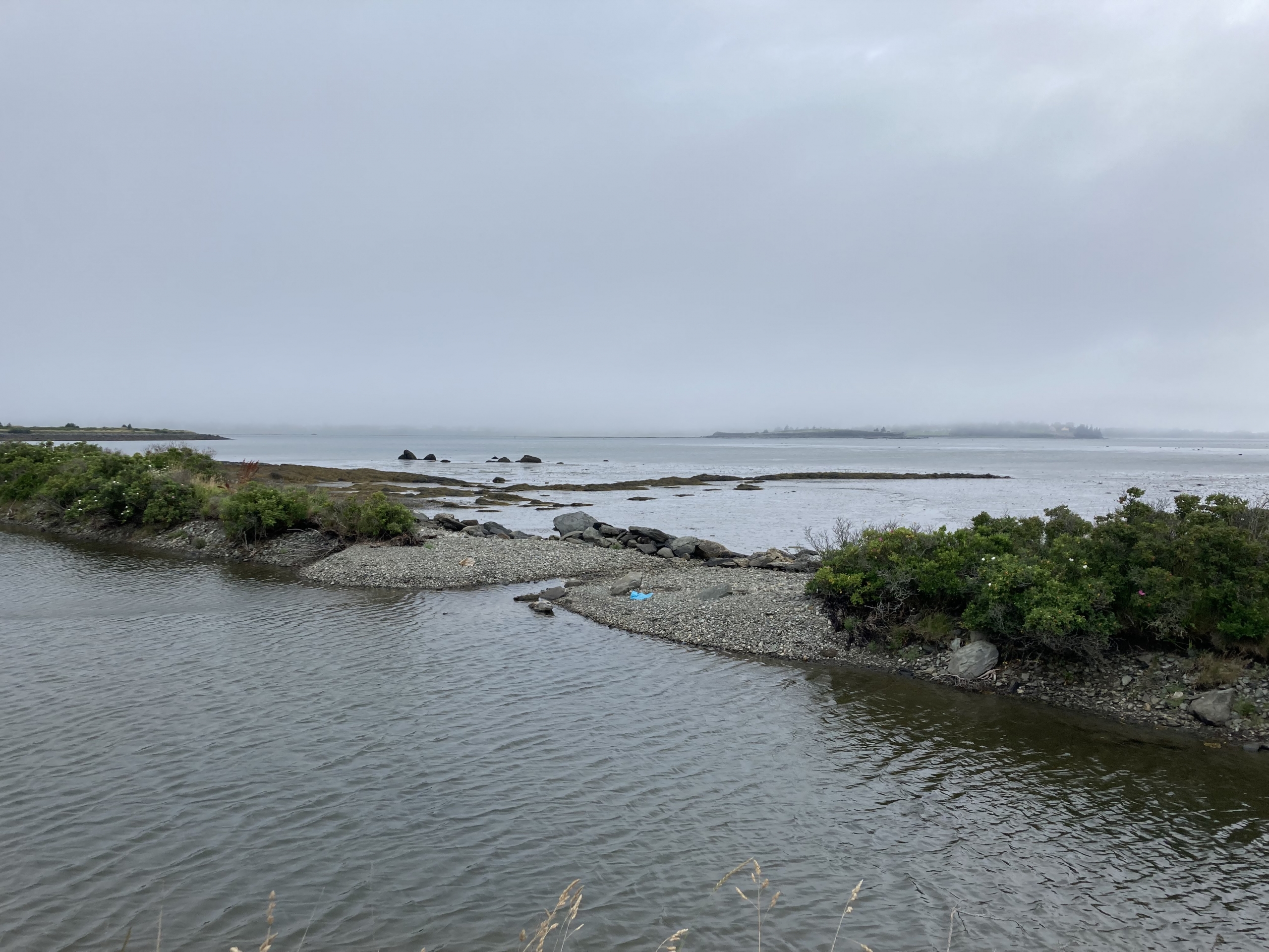
As the trail unfolds, history whispers through echoes of the past, with heritage landmarks and plaques sharing stories of the Town of Yarmouth’s seafaring legacy and its enduring connection to the sea. Along the way, you’ll encounter places of interest such as Milton Clock Tower Park, Frost Park, and nearby museums. The trail also leads to Bunker Island, a tranquil coastal retreat connected by a causeway, where tidal views of Bug Light (officially known as Bunker Island Lighthouse), salt air, and sweeping skies offer a quiet escape steps from the harbour.
But this journey isn’t only about the past—it’s an exploration of the present. Downtown cafés, breweries, and eateries line the route, inviting visitors to savour local cuisine, famously fresh seafood, crafted hot drinks, and pints enjoyed with views of Yarmouth Harbour. The Yarmouth Waterfront Trail is an immersive experience, blending maritime allure with coastal tranquillity and offering a true sense of the town’s vibrant waterfront soul.
Starting Point: The parking lot to L of West Nova Fuels
Distance: 5 kilometres
Time: 55 minutes (30 mins. to Treatment Plant, 15 mins. more to dirt road, 10 mins. to end of causeway)
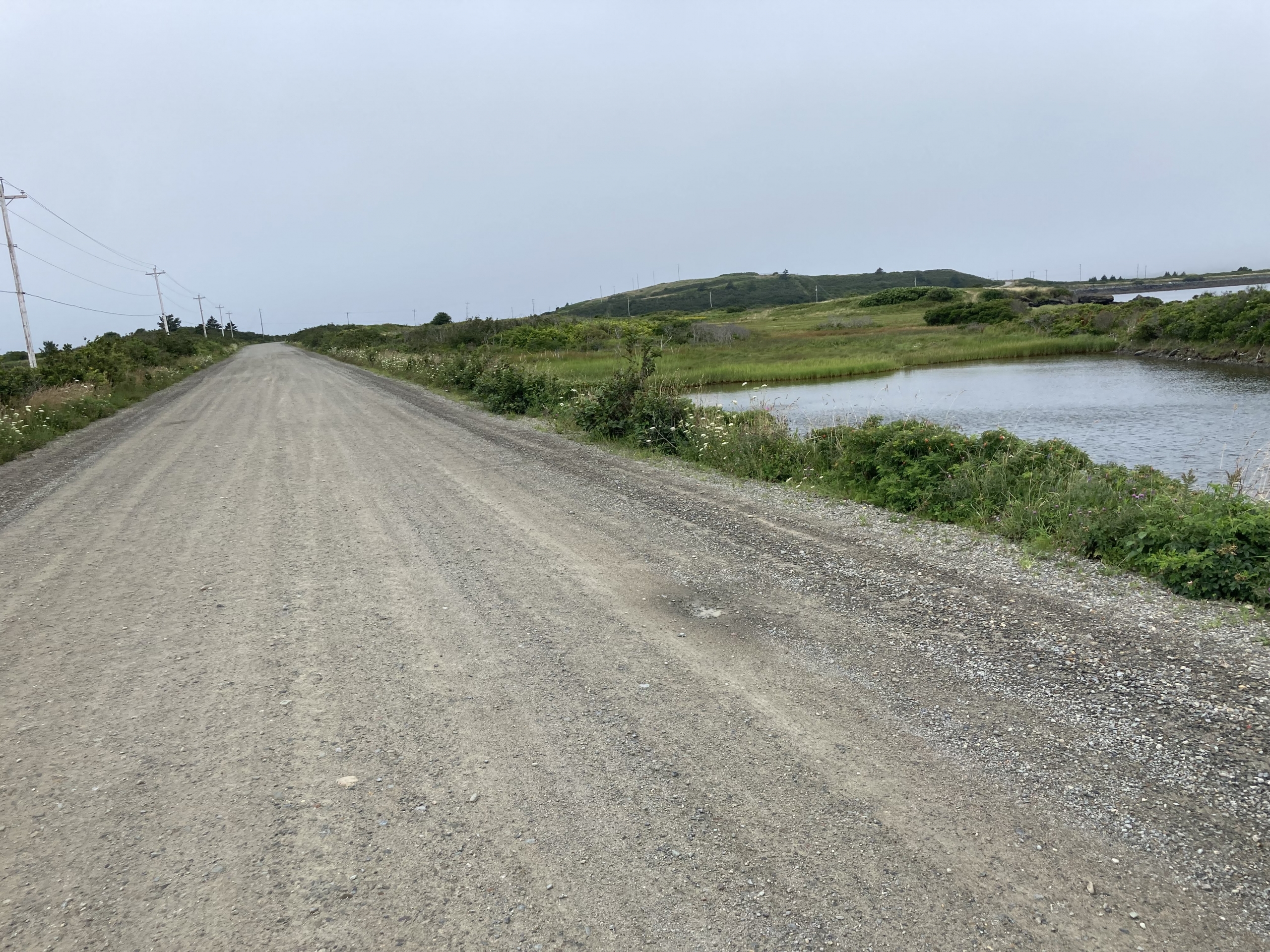
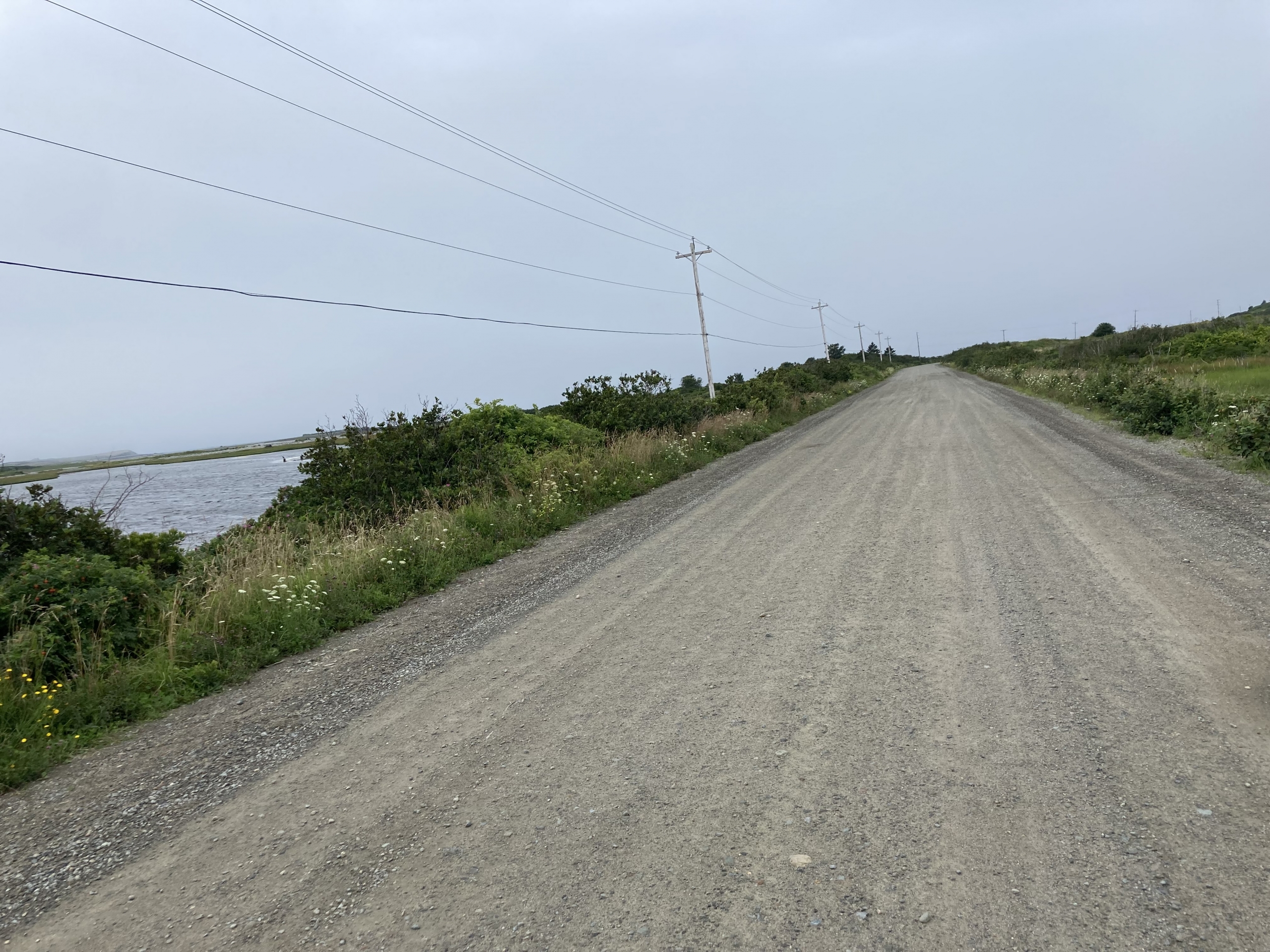
Description: Linear; sidewalks, rail trail, and dirt road
Attractions: Working Yarmouth waterfront; interpretive panels; seashore, pebble beach, seabirds
Services: Café near beginning; washrooms at Killam’s Wharf (seasonal)
Route: Sidewalk going S along Water St. to Wastewater Treatment Plant. Follow a section of Yarmouth Rail Trail along the shore, at the fork, keep R, at dirt road turn R and follow the public road to the end of the causeway. The road beyond is private property.